Listening Before Measuring:
Why Community Voices Matter in Infrastructure Projects Infrastructure’s impact is not just economic. It is lived, experienced, and felt. This is especially true for climate-resilient transport infrastructure, which is designed not
Can infrastructure really change lives in rural communities?
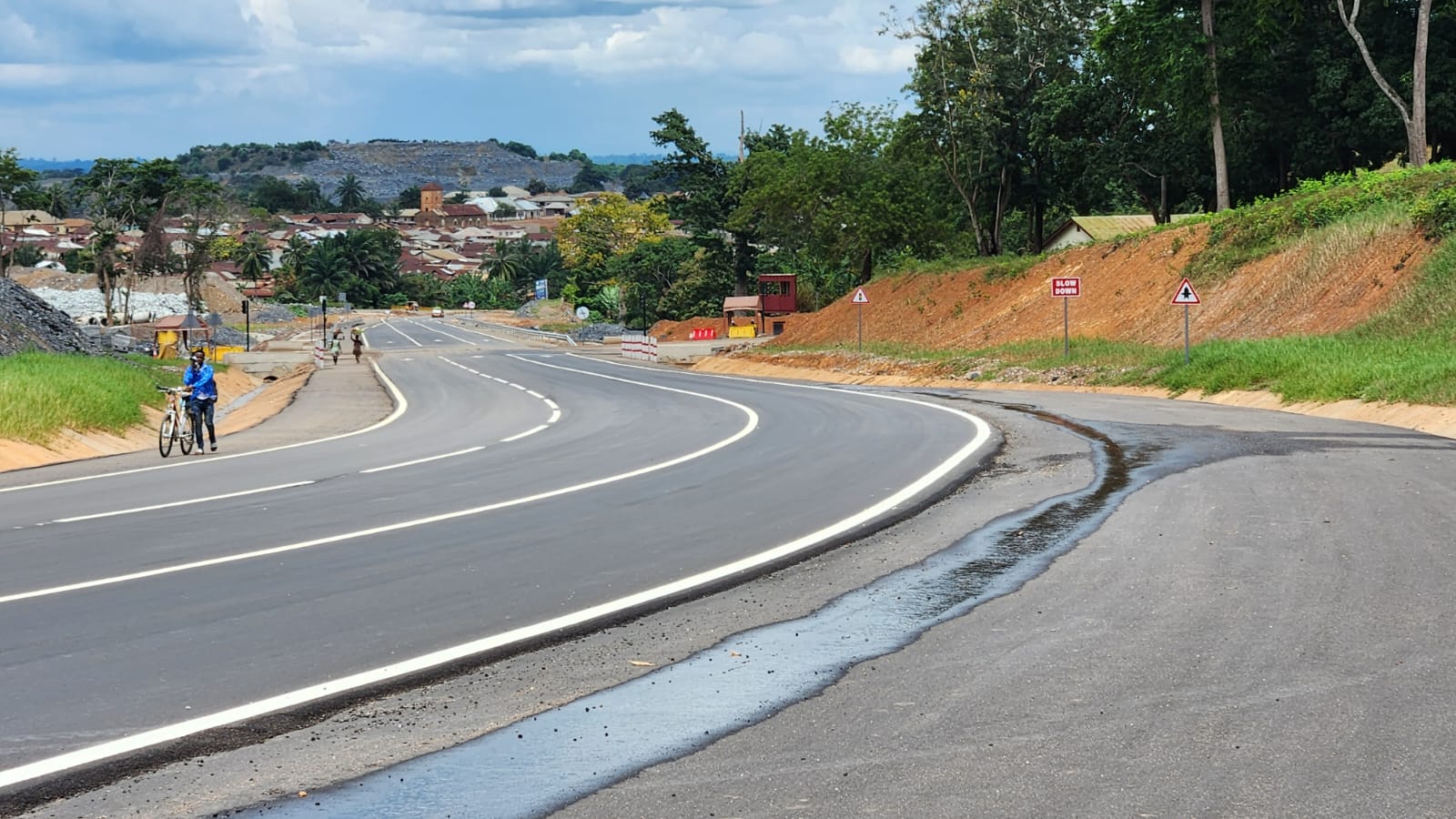
The importance of a climate resilient approach in the rehabilitation of existing rural roads Measuring the Impact of Enga Highway Transport infrastructure has the power to change how communities live, work,

Rural Senses Impact Assessment: Building a Theory of Change
As part of our ongoing commitment to building sustainable, climate-resilient transport infrastructure, AnyWay Solutions has partnered with Rural Senses—an AI-powered platform for community-centered impact evaluation.

Engaging with Rural Senses to assess our projects’ impacts on progressing sustainable development goals
Engaging with Rural Senses to assess our projects’ impacts on progressing sustainable development goals AnyWay is engaging with Rural Senses an AI-powered solution for community-centered impact evaluation. This collaboration marks