A key goal under Sustainable Development Goal (SDG9) for Papua New Guinea is to develop quality, reliable, sustainable, and resilient infrastructure. This includes regional and transborder road networks aimed at supporting economic growth and enhancing accessibility for all citizens.
Papua New Guinea currently has a transport network called GoPNG which has over 30,000km and 746 bridges with 8,740km classified as national roads and about 22,000km as sub-national roads. The national road network is the economic backbone of the country and carries about 89 percent of passenger and freight traffic. However, lack of funding and rehabilitation has contributed to the generally poor state of road conditions. The effects of poor road conditions have led to high vehicle operating and travelling costs and increased road accidents. Many bridges have deteriorated, posing other traffic hazards for public and businesses. One of the government’s long-term visions has been to construct a Trans Island Highway that connects the National Capital District with the Highlands region.
Currently, there are still no roads linking critical agricultural and minerally-rich economic zones. Previous reports (1979 and 2007) have identified five appropriate alignments for the link between Port Moresby and Lae, out of which two routes (identified as Route 1 and Route 4) have been short-listed as the most likely alignments each of about 170 Km long.
The proposed solution is a 180 km ‘missing link’ corridor project that will form the Trans National Highway, ultimately linking the Highlands Highway to the Hiritano Highway and Port Moresby. Each of the potential alignment follows, in some sections, existing unpaved roads, dirt roads that have been created by the local communities of the region though many years of walking and later driving through parts of the area.
The main issue was related to what is identified as the “Missing Link”, parts of the potential route that traversed through virgin terrain, mostly mountainous and inaccessible. The area is covered with thick local vegetation. It was impossible to complete this project by utilizing on ground survey techniques. In addition, The project was ready for execution when the COVID 19 pandemic started, causing difficulties to travel to and in the country.
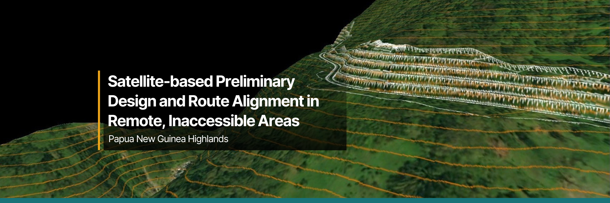
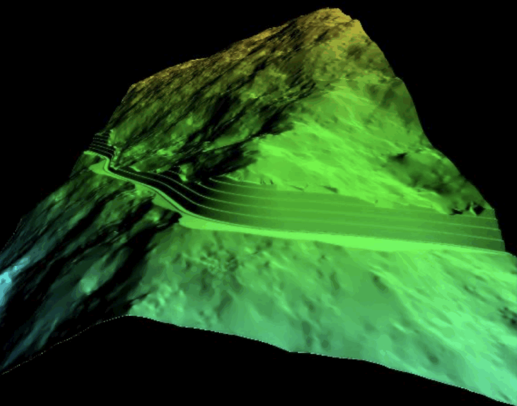
The above conditions called for an approach that would be based on earth observation technologies providing the required data to be able to investigate, identify the route, and provide the preliminary design.
The project involved conducting a route alignment investigation through the utilization of earth observation data collection technologies. Investigations were completed on the topographic and geological weather-related and water-related elements, to inform the basis for a preliminary design for the future road that will traverse through the terrain. The design had to meet the DOWH’s minimum design standard for rural road Type I.
AnyWay Solutions was tasked with conducting a remote, satellite-based investigation and preliminary design of the proposed route. The goal was to meet DOWH’s Rural Road Type I design standards and provide the foundation for detailed engineering and construction planning.
Our work included:
– Topographical survey
– Geological Investigations
– Hydrological Investigations
– Preliminary Engineering Design
– Workshops for the DOWH professional staff, and
– Prepare and compile bid documents for the proposed works including an estimated BOQ.
The desktop study involved collecting and analyzing existing data on various factors, including national and local population statistics, geology and soil conditions along the project corridor, the region’s seismic history and potential earthquake risks, as well as historical and projected climatic conditions using modeling techniques.
A comprehensive report was produced, detailing the conditions relevant to road development along the selected project corridor routes. The report not only reviewed the historical and current geological and climatic conditions but also provided detailed technical information and recommended engineering designed solutions in the following areas:
Climate resilient designs and solutions to transport infrastructure is a future-focused approach that utilizes advanced technologies and techniques to overcome harsh project conditions in Papua New Guinea’s remote areas. The preliminary design of this project allowed the government to select the optimal route for the project, one that will enhance the economic and social aspects of the development of the country, connecting the capital city with the countries’ main port of entry and many of the rural communities along the selected route.
AnyWay contributed to the capacity building of the professional staff at the DOWH by sharing information and conducting seminars on the work that was done and the technologies and techniques that were used to create the designs and solutions proposed. This helps equip local professionals with the knowledge to apply similar solutions in future projects.
