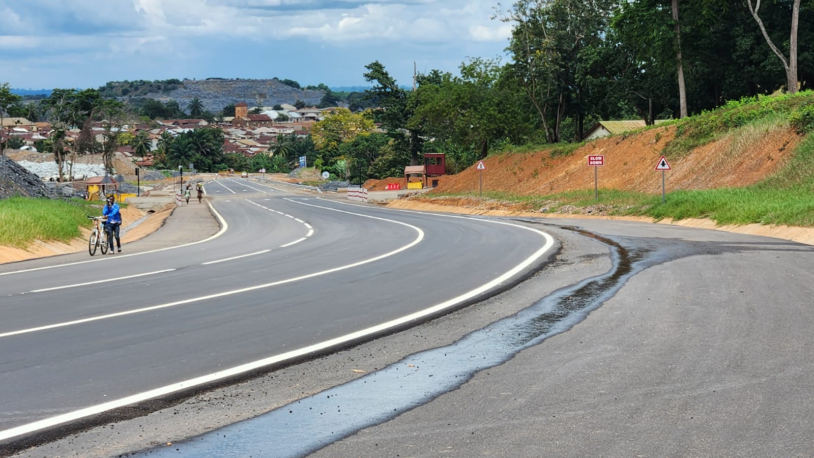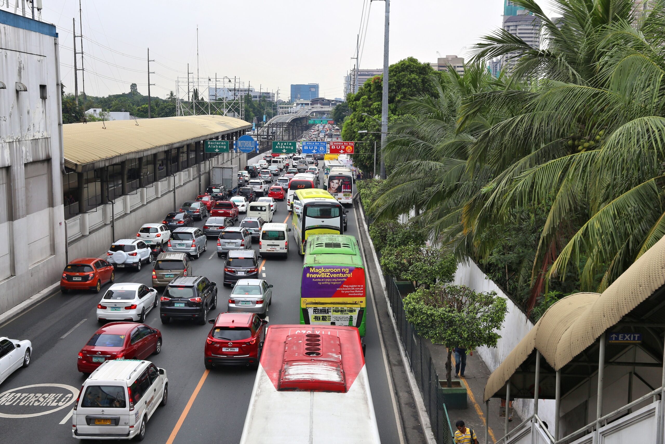
Listening Before Measuring:
Why Community Voices Matter in Infrastructure Projects Infrastructure’s impact is not just economic. It is lived, experienced, and felt. This is especially true for climate-resilient transport infrastructure, which is designed not