Listening Before Measuring:

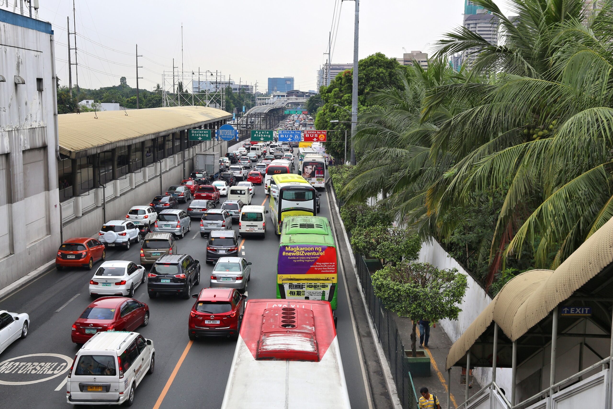
MANILA, PHILIPPINES - DECEMBER 8, 2017: Typical traffic congestion in Metro Manila, Philippines. Metro Manila is one of the biggest urban areas in the world with 24 million people.

Listening Before Measuring:

Why Community Voices Matter in Infrastructure Projects

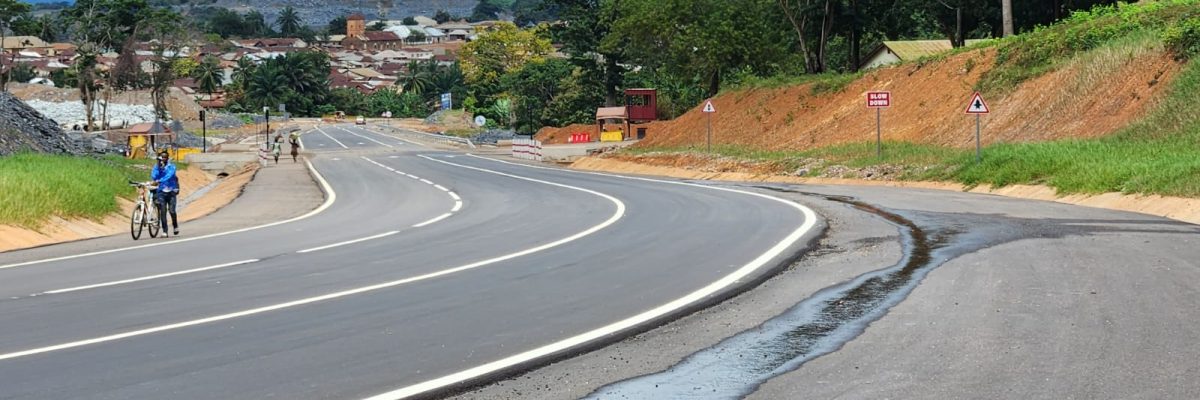
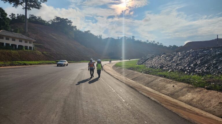
Infrastructure’s impact is not just economic. It is lived, experienced, and felt. This is especially true for climate-resilient transport infrastructure, which is designed not only to perform today, but to endure tomorrow’s uncertainties. For the Enga Highway project, we wanted to assess its true impacts on the environment, communities, and economy after it remained in good condition for over 14 years, an unprecedented achievement for the main road in the Enga Province. We engaged Rural Senses, a company that specializes in conducting impact assessments in developing nations, to conduct a thorough impact assessment of the project. It started with “One Talk”, where we had conversations with the people of Enga, including youth, women, medical and education providers, merchants and business owners. Their perspectives formed the foundation of the study, ensuring that local voices were the primary source of insight before further analysis of the impacts.

Listening at Scale: How Voices Are Captured

Before any data were collected, a clear theory of change was developed, with a structured understanding of how infrastructure was expected to create environmental, social, and economic outcomes. The unique methodology for collecting data transforms impact assessment from a static evaluation into a continuous learning system, combining both participatory and quantitative methods. 

The impact assessment was built on a human-centred methodology that treats community members as primary sources of knowledge, not just respondents. The data collection was structured using a combination of local face-to-face interviews and digital processes.

Local Data Collectors, Local Languages

Data was gathered by trained local surveyors, including AnyWay staff members, embedded within the communities themselves. These surveyors conducted interviews in local languages through open, natural conversations, ensuring responses were authentic and culturally grounded. 

This approach was based on the User Perceived Value framework, developed at the University of Cambridge, which prioritizes lived experience as a core metric of impact. It is important to note that all interviews were conducted using a non-biased approach. Interviewers did not disclose that the survey was part of an impact assessment related to AnyWay Solutions, ensuring that responses were not influenced by this context.  

Voice-Based Surveys

Instead of rigid questionnaires, a voice-based mobile data collection method was used, allowing people to speak freely rather than select predefined answers. This method reduced bias, captured nuances and emotions, and enabled participation regardless of literacy levels. Each conversation became both qualitative insight and structured data.

Human and AI-Powered Processing

Voice recordings were automatically transcribed, translated into English and then analyzed using natural language processing. This allowed thousands of human stories to be transformed into quantifiable insights at scale, while preserving meaning and context. 

Quality and Trust

To ensure reliability, local teams were trained in ethical interviewing and bias reduction. The data underwent quality assurance checks to further enable data-quality, and the team made sure to actively account for cultural nuances. The result was data that is not only large in volume but deep in meaning.

Beyond Surveys: Combining Voices with Satellite Data

What made the impact assessment unique was not just how we listened, but also how we connected what was observed using digital technologies.

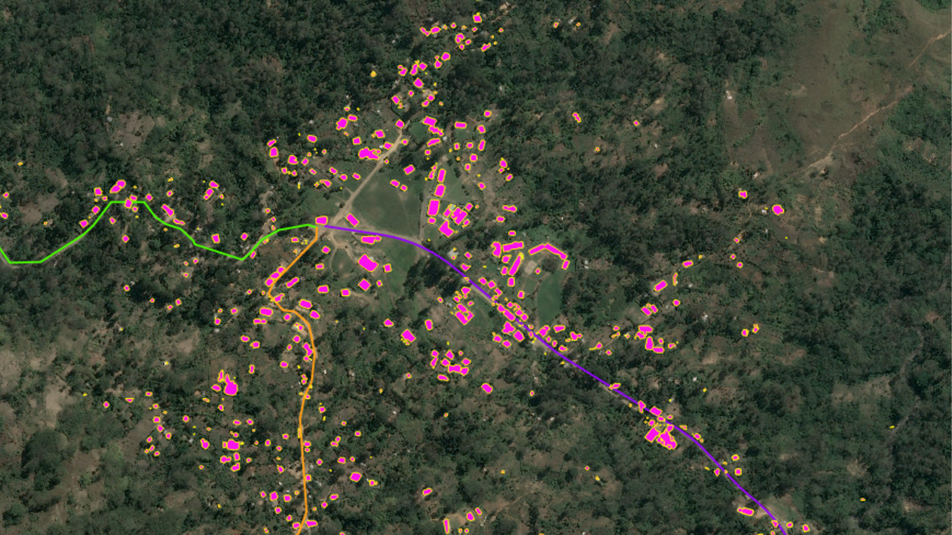
Using Earth Observation (EO) technology, satellite data is layered with community insights to create a multi-dimensional view of the impacts. This allows researchers to track physical changes like urban expansion and land use and measure the economic and environmental shifts over time. Those changes could then be linked directly to the lived and shared experiences of the community members.

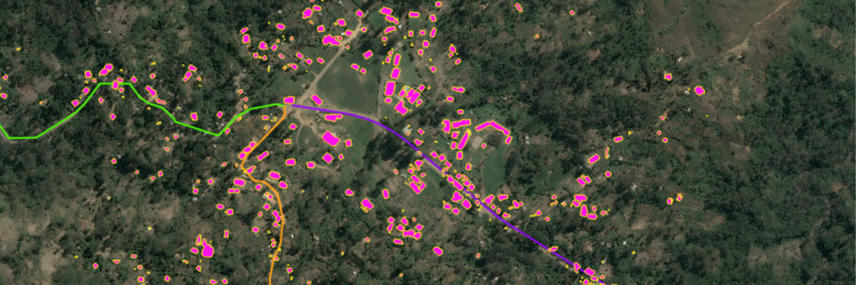
For example, along the Enga Highway, EO data revealed visible expansion of built-up areas between 2017 and 2024, confirming patterns described by communities on the ground. 

In this model, satellites showed what changed while the people explained why it mattered. Together, they revealed a critical dimension of climate-resilient infrastructure. 

When a road is reliable over time, people reorganize their lives around it.

What Listening Reveals: The 'Magnet Effect’

When communities were asked about population changes after road rehabilitation, the response was unanimous: 100% reported population growth and 80% described it as significant

But the insight goes deeper than numbers. Communities described a powerful “pull effect”:

  • Families relocating from mountainous areas for access to healthcare and schools
  • Migration toward roadside markets and economic opportunities
  • Continuous construction of new homes along the corridor

One voice captured it clearly, “We have built businesses along the roadside… we can easily access services.” This is not just demographic change, but a transformation of how people live.

The impact assessment was built on a human-centred methodology that treats community members as primary sources of knowledge, not just respondents. The data collection was structured using a combination of local face-to-face interviews and digital processes.

A New Standard for Impact Measurement

The impact assessment that was conducted by Rural Senses demonstrates that meaningful infrastructure evaluation requires three things:

  1. Human insight – captured through voice, conversation, and lived experience
  2. Quantitative rigour – structured indicators and measurable outcomes
  3. Spatial intelligence – satellite data that tracks real-world change

By integrating these layers, impact is understood, validated, and explained.

The Takeaway

While it is well established that roads are a catalyst for development, they often fail to withstand the impacts of climate change. This impact assessment demonstrates that the climate resilience of transport infrastructure, especially rural roads, can significantly improve community livelihoods by enabling longer-lasting infrastructure and providing reliable, consistent access that supports many aspects of life.

It also shows that climate-resilient transport infrastructure does not exist in isolation. It reshapes communities, economies, and daily life in ways that numbers alone cannot capture. That’s why this impact assessment started with a simple principle:  Using multiple layers of data collection can ensure reliable and well-founded conclusions.

Ultimately, this impact assessment reveals not just whether infrastructure works, but how its climate-resilient design allows it to continue delivering that value over time. Because the real measure of resilience is not what a road does today, but what it makes possible over a long period of time, and in this case, more than 14 years.

Rural Senses is a team of impact experts that provides state-of-the-art technologies and methodologies to measure, manage, and communicate impact.  With an extensive global network of data collectors, Rural Senses is equipped to conduct surveys and gather valuable data in diverse rural and urban areas across the globe.

Beyond the Road:
Measuring Real Impact

Infrastructure doesn’t just move vehicles — it transforms lives, livelihoods, and entire communities. Because to build better infrastructure, we first need to understand what truly matters.

Explore the full series 

Real impact

Related Articles

Listening Before Measuring:

Why Community Voices Matter in Infrastructure Projects Infrastructure’s impact is not just economic. It is lived, experienced, and felt. This is especially true for climate-resilient transport infrastructure, which is designed not

Can infrastructure really change lives in rural communities?

WhatsApp Image 2026-01-13 at 10.32.44 AM

Can infrastructure really change lives in rural communities?

The importance of a climate resilient approach in the rehabilitation of existing rural roads

Measuring the Impact of Enga Highway

Transport infrastructure has the power to change how communities live, work, and grow. For decades, the success of transport infrastructure has been measured by outputs: kilometres of road built, budgets spent, and timelines met. But these metrics only tell part of the story. What they often miss is one of the most important questions: “What actually changed for the people who use the road every day?” This question becomes even more critical in the context of climate change and its growing impact on transport infrastructure, particularly rural roads. Many roads in developing countries were originally built to standards that no longer reflect current climate conditions, making them increasingly vulnerable to damage and failure. As a result, rehabilitation and upgrading efforts require a fundamentally different approach that explicitly accounts for climate risks and integrates design features that enhance long-term resilience. Only by adopting this approach can infrastructure investments deliver lasting, positive impacts on the livelihoods of the communities they serve.

The rehabilitation of the Enga Highway in Papua New Guinea offers a powerful opportunity to explore this, and to realize that long team impact is actually achievable through climate resilient engineering approach. 

Infrastructure Changes Communities, But Measuring Impact Isn’t Easy

There are 67 kilometres of the Enga Highway that run through one of the most remote and mountainous regions in Papua New Guinea, forming a critical link between rural communities and essential services. For years, deteriorating road conditions limited mobility, restricted access to healthcare and education, and constrained economic activity.

When the rehabilitation of the road started in 2012, using climate-resilient engineering approaches and solutions, the expectation was clear that improved infrastructure would lead to improved lives. The expectation was that the road would maintain its good structural condition even under the conditions of climate change. 

But proving that link is not straightforward. Infrastructure operates within complex systems. Changes in mobility affect access to markets. Access to markets influences income. Income shapes health, education, and long-term opportunity. Capturing these interconnected effects requires a deeper, more human-centered approach to data.

A New Way to Measure What Matters

To better understand these impacts, AnyWay Solutions partnered with Rural Senses to conduct a comprehensive impact assessment of the Enga Highway.

The goal was to move beyond outputs and measure real outcomes. Using a mixed-methods approach, the assessment combined:

  • Quantitative data (travel times, transport costs, trip frequency)
  • Qualitative insights (community experiences, perceptions, and lived realities)
  • A structured Theory of Change linking infrastructure improvements to development outcomes

Through surveys and interviews with 174 stakeholders, including farmers, transport operators, households, healthcare workers, and local businesses, the study captured both the scale and the depth of change.

Enabled by Rural Senses’ technology platform, including in-person data collection and AI-supported analysis, the assessment preserved community voices while generating robust, decision-ready insights.

What the Data Reveals

The findings tell a compelling story of transformation. Following the rehabilitation of the Enga Highway:

  • Transport efficiency improved significantly, with travel times reduced and trip frequency increased
  • Farmers gained easier, faster access to markets, increasing the volume of goods transported
  • Businesses experienced higher customer flows and growing revenues
  • Access to healthcare improved, with faster emergency response times and better maternal outcomes
  • Students reached schools more easily, improving attendance and punctuality
  • Communities became more connected, with population growth along the corridor

These changes reinforced one another. Rehabilitated roads that maintain good condition for longer periods of time enable movement for many more years. Such movement enables access. Access enables opportunity.

From Data to Development Impact

One of the most important insights from the assessment is that resilient infrastructure, which then maintains its good condition and level of serviceability for longer periods of time, acts as a multiplier across development outcomes.

The Enga Highway contributes to several global development priorities, including:

  • Health and well-being, through improved access to medical services
  • Quality education, by reducing barriers to school attendance
  • Economic growth, by enabling market access and business expansion
  • Resilient infrastructure, through durable, climate-adapted design

These outcomes align closely with the Sustainable Development Goals (SDGs), demonstrating how targeted infrastructure investments can drive progress across multiple sectors simultaneously.

A Journey of Discovery

The Enga Highway impact assessment is part of a broader journey of understanding how infrastructure investments translate into real-world change.

It shows that long-lasting climate resilient infrastructure projects do change communities, and despite that, measuring that change may be complex, it is possible. After all, better measurement leads to better decisions, design and outcomes for surrounding communities.

To dive deeper into the data, explore stakeholder perspectives, and interact with the results, access the full Enga Highway Impact Assessment Report here:

Rural Senses is a team of impact experts that provides state-of-the-art technologies and methodologies to measure, manage, and communicate impact.  With an extensive global network of data collectors, Rural Senses is equipped to conduct surveys and gather valuable data in diverse rural and urban areas across the globe.

Beyond the Road:
Measuring Real Impact

Infrastructure doesn’t just move vehicles — it transforms lives, livelihoods, and entire communities. Because to build better infrastructure, we first need to understand what truly matters.

Explore the full series 

Real impact

Related Articles

Listening Before Measuring:

Why Community Voices Matter in Infrastructure Projects Infrastructure’s impact is not just economic. It is lived, experienced, and felt. This is especially true for climate-resilient transport infrastructure, which is designed not

Continuing Our Commitment to Excellence with the International Road Federation

Continuing Our Commitment to Excellence with the International Road Federation

AnyWay Solutions is proud to renew our membership in good standing with the International Road Federation (IRF) for 2026, as confirmed in our official certificate of membership.

We are grateful for the continued leadership of IRF President & CEO C. Patrick Sankey and IRF Chairman Randell Iwasaki, whose work advances safe, sustainable, and resilient road and transport systems worldwide.

Our ongoing engagement with IRF reflects AnyWay’s commitment to strengthening transportation infrastructure in developing and climate-vulnerable regions. Through IRF’s global network, technical programs, and conferences, we continue to connect with industry leaders, multilateral partners, and public agencies dedicated to innovation and best practices in transport infrastructure.

Being part of IRF supports our mission to deliver resilient engineering solutions and technology that enhance mobility, climate adaptation, and long-term infrastructure performance.

We look forward to another year of collaboration, knowledge-sharing, and global impact through our partnership with the International Road Federation.

Bibiani

Road Pavement Design and Construction Supervision

Bibiani Asante Gold Corp Mine

Project Objective:​

With rising gold prices and pressure to increase production, Asante Gold Bibiani Limited (AGBL) sought to extend the lifecycle of an existing gold mine site to one of the additional licensed sites it has under its concession.

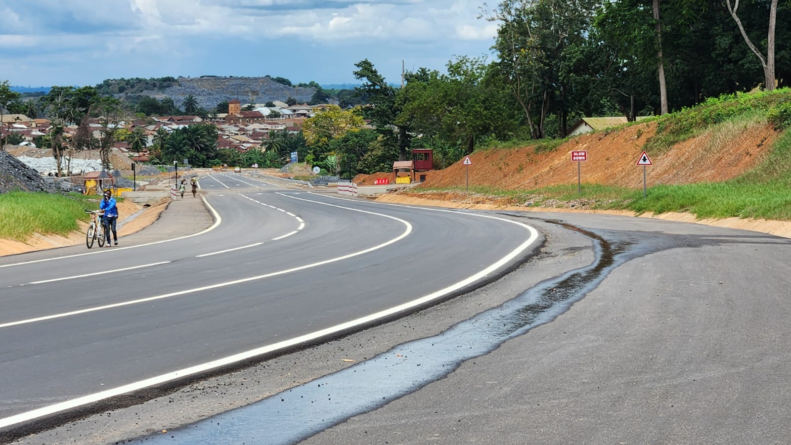
The main road through the mine area needed to be realigned to expand the mine’s operations. As the road is a national highway, the Ministry of Roads and Highways supervised the project through the Ghana Highway Authority (GHA). The project was approved on the condition that a 1.5km bypass road be constructed to facilitate traffic flow and allow local communities to use the main road. The mine designed and financed the 1.5km bypass.

The Challenge

The new bypass road needed to be open before the section of the main road could be closed to allow for the mine expansion. AGBL and the Ministry of Roads and Highways were under pressure to complete the bypass to open the main road and allow access to the mine from the new site. The schedule and construction time for the project were tight, and, as an added challenge, it coincided with the rainy season. Ghana Highways Authority supervised the project under the Ministry, while AGBL was responsible for the design and construction.

Given the mountainous terrain and intense climate events, there was a need to enhance the pavement climate resiliency of the bypass section so that it could withstand heavy rainfall and the consistent traffic of heavy mining trucks and equipment. However, the surplus materials available for the project did not meet the GHA specifications for highways. Importing materials from distant sites would have caused delays, resulting in economic consequences for AGBL and creating pressure on the ministry from local communities. 

Our Role

AnyWay Solutions was called by the Mine’s design team to assist in developing a solution that would allow the use of locally available materials and enhance climate resilience through a robust pavement structure. After conducting a series of materials investigations and evaluating various options, AnyWay’s engineering team recommended that the substandard available materials be stabilized using a classium-driven stabilizer that was developed by AnyWay Solutions, ANSS. A new pavement design was created for the project. AfricanBagg / Landmark was assigned to construct the newly designed pavement structure for the road, while AnyWay would supervise the works. The drainage system and road surfacing were designed by Dovetech Engineering.

AnyWay’s Ghana team supervised the construction of the newly designed stabilized pavement layers and oversaw the construction of the drainage elements as per Dovetech’s designs.

The Results

The construction works were executed around the clock to meet the aggressive schedule. The use of AnyWay’s design and technology, ANSS, to enhance the road pavement’s climate resilience resulted in a robust pavement and a project completed on time and to the highest quality standards. The construction team pressed on to meet the schedule despite the rain that

The construction works were executed around the clock to meet the aggressive schedule. The use of AnyWay’s design and technology, ANSS, to enhance the road pavement’s climate resilience resulted in a robust pavement and a project completed on time and to the highest quality standards. The construction team pressed on to meet the schedule despite the rains that prevailed nearly daily. AnyWay’s team oversaw construction and quality control to ensure the project’s speedy delivery.
  

Added value from AnyWay Solutions

AnyWay’s comprehensive approach to engineering design expanded the range of practical solutions available to the GHA and AGBL for addressing similar challenges on additional roads now planned as part of the relocation of communities.  

Through these designs and solutions, AnyWay not only completed the project on time but also introduced climate-resilient solutions to the Ministry and the Mine.

This design approach directly contributes to achieving 7 of the 17 Sustainable Development Goals (SDGs) by fostering resilient infrastructure, promoting sustainable economic growth, and improving access to essential services in one of the country’s most important regions.

*The Gold mine at Bibiani, Ghana, is managed and operated by Asante Gold Bibiani Limited (AGBL), a wholly owned Ghanaian subsidiary of Asante Gold Corporation. The Ghanaian Government carries a 10% non-equity free carry in the Bibiani Mine.

AnyWay Solutions Welcomes Mariel Cabero as Tender Administrator

AnyWay Solutions Welcomes Mariel Cabero as Tender Administrator

AnyWay Solutions is pleased to announce the addition of Mariel Cabero to our global team as Tender Administrator, reinforcing our commitment to delivering sustainable, climate-resilient transport infrastructure across developing nations.

Mariel brings 7+ years of international experience in cost estimating, tender management, and quantity surveying across the Philippines, Australia, the United Kingdom, and the United States. Her background spans civil works, residential construction, commercial projects, and consultancy support for contractors.

In her role at AnyWay Solutions, Mariel will:

  • Coordinate tender submissions, EOIs, and proposal documentation for Multilateral Development Bank (MDB)–funded infrastructure projects.
  • Manage a global tender database and procurement opportunity pipeline to support strategic project acquisition.
  • Prepare compliance checklists and ensure high-quality, on-time submission of technical documents.
  • Collaborate with cross-functional engineering, business development, and project teams to develop competitive and compliant proposals.
  • Contribute to workflow improvements in tender management.


Driving Climate-Resilient Transport Infrastructure 

AnyWay Solutions’ mission centers on supporting nations as they transition toward safer, more resilient, and sustainable transport systems. Mariel’s experience in civil engineering, cost control, and documentation management strengthens our ability to deliver on this mission. 

Her Philippine and international experience brings valuable perspective as AnyWay Solutions expands its portfolio of climate-resilient transport infrastructure initiatives. She will play a key role in ensuring that MDB-funded proposals are well-structured, competitive, and aligned with global standards that ultimately support countries in building infrastructure that can withstand climate-related stresses. 

A Strategic Addition to a Growing Global Team 

With an engineering foundation from Cebu Technological University and a career shaped by roles in both the field and the office, Mariel understands the technical and administrative dimensions of infrastructure development. Her attention to detail, multi-market expertise, and ability to manage simultaneous deliverables make her an ideal fit for AnyWay Solutions’ fast-growing tender and business development operations. 

We are excited to welcome Mariel and look forward to the impact she will help create as we expand our efforts to build resilient, sustainable, and inclusive transport solutions worldwide. 

Welcome to AnyWay Solutions, Mariel!

The Emergence of InfraTech: How AI and Other Digital Technologies are Enabling Climate-Resilient Transportation Infrastructure in LMICs

The Emergence of InfraTech: How AI and Other Digital Technologies are Enabling Climate-Resilient Transportation Infrastructure in LMICs

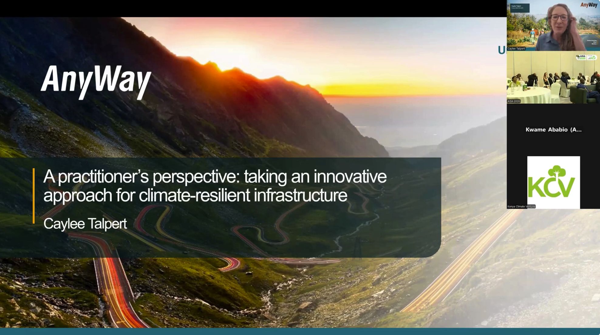
This article by Caylee Talpert of AnyWay solutions was published in NextBillion Magazine and explores the emergence of “InfraTech” including the use of AI, remote sensing, mobile apps and other digital tools to support climate-resilient transportation infrastructure in low- and middle-income countries (LMICs).

In this article, Caylee explains how despite substantial investment, many communities still lack reliable all-weather roads, which hinders access to markets, jobs and services. The piece details how advanced technologies (e.g., satellite imagery, machine-learning design, smartphone-based road-condition monitoring) are helping to collect critical data, optimise design and maintenance, and tailor solutions to local conditions. Ultimately it shows how these digital innovations are enabling more durable, socially inclusive and cost-efficient transportation networks in challenging environments.

Read the full article to learn more about infratech’s applications in the transportation sector in developing nations. Read it here 

nextbillion thumbnail

Meet Keren Moshkoviz – Connecting Innovation with Impact


Meet Keren Moshkoviz - Connecting Innovation with Impact

At AnyWay Solutions, innovation and purpose go hand in hand, and no one embodies that more than Keren Moshkoviz, whose work bridges global strategy, sustainable development, and technology. Based in Israel but working across continents, Keren plays a key role in shaping the company’s partnerships with multilateral development banks (MDBs) and expanding its global reach. For her, the heart of the job lies in the connection between innovation and real-world impact. “Every project we take on has the potential to improve lives and strengthen communities,” she says. “Knowing that our work directly touches people’s lives keeps me motivated.”

Keren was drawn to AnyWay Solutions by its unique blend of engineering expertise and mission-driven focus. With a background in business development and strategic planning, she saw an opportunity to join a team that sits at the intersection of technology and sustainability. Since joining, she has led the company’s strategy for engaging with MDBs, opening doors to new collaborations and enabling the company to deliver resilient infrastructure solutions in developing regions. Her ability to translate complex challenges into actionable strategies has been central to this success.

A true believer in the power of teamwork, Keren thrives in the company’s collaborative, multicultural environment. Working with engineers, consultants, and partners from around the world, she values the diversity of perspectives that drive creativity and learning across the organization. “Every day brings new ideas,” she says. “I love that we’re a global team that’s always growing together.” That spirit of connection was on full display during the company’s 2024 strategy retreat in Manila, one of her favorite memories at AnyWay that she describes as a chance to align on vision, share insights, and strengthen bonds beyond the screen.

Outside of work, Keren finds balance in yoga, hiking, and nurturing her latest hobby, growing hydroponic herbs at home. “It’s like having a mini green lab in my kitchen,” she laughs, noting how it combines her love for innovation with her appreciation for nature. Her personal passions also reflect her professional values. She’s a strong advocate for gender equality and for using technology to create meaningful change in communities worldwide.

Looking ahead, Keren is focused on expanding AnyWay’s role in AI-driven infrastructure solutions and deepening partnerships across Africa and Asia. She believes the future of sustainable development lies in harnessing data, innovation, and collaboration to tackle global challenges, especially climate change. With her strategic foresight and commitment to impact, Keren continues to help shape AnyWay Solutions’ goal of building smarter, more resilient infrastructure for a better world.

A Question of Safety: Upgrading Low-Volume Roads in Developing Countries

A Question of Safety: Upgrading Low-Volume Roads in Developing Countries

In an article for TRnews, Alex Campbell of AnyWay Solutions examines how road improvement projects in developing regions can unintentionally heighten safety risks. He emphasizes practical, low-cost strategies to make these upgrades safer and more sustainable.

The article “A Question of Safety: Upgrading Low-Volume Roads in Developing Countries” explores how well-intentioned improvements to rural, low-traffic roads in developing regions can inadvertently create serious safety risks. While paving and widening these roads is often linked to economic development by enhancing access and mobility, the increased vehicle speeds and volumes that follow (combined with lingering conditions such as slow-moving carts, pedestrian use, scarce signage, and minimal infrastructure for non-motorized users) can lead to elevated injury and fatality rates. He argues that safety considerations must be integrated from the design phase, and that low-cost corrective measures such as paved shoulders, rumble strips, defined pull-off zones, and pedestrian crossings can make a substantial difference. Read the full article with detailed recommendations here.

Pavement Engineering Design and Rehabilitation Strategy, Project Supervision, and Capacity Building

Pavement Engineering Design and Rehabilitation Strategy, Project Supervision, and Capacity Building

The Addia Ababa City Roads Authority, Ethiopia

Project Objective:​

With a population exceeding 12 million and experiencing rapid urbanization, the City of Addis Ababa prioritized the improvement of its road infrastructure with a vision to rehabilitate and upgrade the roads network in the City’s older quarters. To do this, the Addis Ababa City Roads Authority (AACRA) was selected as the Project Implementing Unit. The project’s main objective was to upgrade existing dirt and gravel roads with durable cobblestone pavement. To support the full implementation of this solution, a comprehensive program was developed with the support of the World Bank and GTZ.

The Challenge

When AACRA began designing the project, a major challenge quickly became apparent. Addis Ababa is built on a huge volcanic mountain and the predominant natural soil, black cotton soil, is notoriously difficult for road construction. The soil has a very low load-bearing capacity (less than 1% CBR), high susceptibility to moisture, and tendto expand when wet and shrink when dry. These characteristics make it one of the least suitable soils for building durable roads 

AACRA’s catalog design manual called for replacement of between 60-100 cm of black cotton soil before placing new road construction materials. Applying this method across large sections of the city would place an unsustainable burden on Addis Ababa. It would involve thousands of trucks transporting millions of tons of black cotton soil to disposal sites out of the city while simultaneously hauling in large volumes of suitable construction materials. The environmental effects of that would be detrimental to the population, causing significant pollution and and carbon emissions along with additional damage to roads caused by the heavy loads 
 
A more comprehensive and sustainable approach was required to address the project’s challenges and create a more robust pavement structure capable of withstanding the pressures of a changing climate. Additionally, the solution needed to support the continued involvement of community SMEs that were created as part of the project. 

Our Role

The project called for creative, climate resilient sustainable pavement designs with practical techniques that would rehabilitate and upgrade existing urban roads while also addressing the challenges associated with black cotton soil. Through the implementation of these designs, the project also aimed to build the capacity of the local workforce including engineers, contractors and workers by introducing advanced engineering concepts and providing relevant training on implementation techniques.

The core of AnyWay’s contribution was through an approach known as road pavement rehabilitation and upgrading through in-situ stabilization. This approach, combined AnyWay’s proprietary soil stabilization technology, which was particularly effective in overcoming the challenges that the black cotton soil presented. We established a practical and sustainable alternative to the conventional method of soil excavation and replacement, significantly reducing the need for transporting materials in and out of the city. 

AnyWay provided the pavement design and construction supervision. We worked with AACRA’s teams across the city. During this phase, we provided training on advanced solutions that allowed AACRA to build these roads faster, without the need to haul waste materials and import new materials to each of these projects.   

The Results

A total of 27 kilometers of cobblestonepaved roads were constructed in a fraction of the time it would have otherwise taken (a few months instead of a few years). By avoiding the need for mass transport of construction materials in and out of the city, the project significantly reduced traffic disruption, environmental impacts, and overall project costs were reduced by up to 26%.  

We supported the capacity building of local stakeholders. Many of AACRA’s staff received training in advanced engineerig designs, technologies, and techniques. A focus was placed on enhancing climate resiliency, minimizing the environmental and social footprint of project, and creating sustainable long-term solutions to local communities.  

The project served as a turning point for AACRA and later for other road authorities in Ethiopia, in how they approached road design and construction. It helped shift the focus toward integrating climate resiliency into road pavement designs.  

Added value from AnyWay Solutions 

Through its innovative and holistic approach to the challenges faced by the project, AnyWay was able to increase the social, economic, and environmental impact of the project. 

Social Impact – The designs created meaningful opportunities for community-based SMEs to participate in the construction phase. Accelerated project implementation helped minimize disruptions typically caused by infrastructure work in a dense urban setting like Addis Ababa, thereby reducing inconvenience to residents and businesses. In the longer term, the improved road network has significantly enhanced access to essential services such as education, healthcare, and markets. Access to these important services has improved and remained reliable in various climate conditions, including the extreme climate events that have occured in recent years.  

Economical Impact – It is well documented that better roads have a positive significant impact on economic development in areas surrounding them. This was clearly seen in neighborhoods like Gerji, where upgraded access benefited numerous markets, as well as in newly developed residential areas such as Jemo, where the new roads supported the growth of commercial centers and markets. The improved mobility has stimulated business activity, job creation, and property development across these communities. 

Environmental Impact There is less congestion and pollution by reducing the need for transport trucks in and out of the city and less damage to the environment by reducing the need to quarry pavement materials. In the long term, the transformation of dusty dirt and gravel roads into cobblestone pavements has greatly reduced airborne dust and pollution in the city. Smoother traffic flow has also helped reduce vehicle emissions, further contributing to improved air quality in Addis Ababa. 

Satellite-based Preliminary Design and Route Alignment in Remote, Inaccessible Areas

Satellite-based Preliminary Design and Route Alignment in Remote, Inaccessible Areas

Papua New Guinea Highlands

Project Objective:​

A key goal under Sustainable Development Goal (SDG9) for Papua New Guinea is to develop quality, reliable, sustainable, and resilient infrastructure. This includes regional and transborder road networks aimed at supporting economic growth and enhancing accessibility for all citizens. 

Papua New Guinea currently has a transport network called GoPNG which has over 30,000km and 746 bridges with 8,740km classified as national roads and about 22,000km as sub-national roads. The national road network is the economic backbone of the country and carries about 89 percent of passenger and freight traffic. However, lack of funding and rehabilitation has contributed to the generally poor state of road conditions. The effects of poor road conditions have led to high vehicle operating and travelling costs and increased road accidents. Many bridges have deteriorated, posing other traffic hazards for public and businesses. One of the government’s long-term visions has been to construct a Trans Island Highway that connects the National Capital District with the Highlands region.  

Currently, there are still no roads linking critical agricultural and minerally-rich economic zones. Previous reports (1979 and 2007) have identified five appropriate alignments for the link between Port Moresby and Lae, out of which two routes (identified as Route 1 and Route 4) have been short-listed as the most likely alignments each of about 170 Km long. 

The Challenge

The proposed solution is a 180 km ‘missing link’ corridor project that will form the Trans National Highway, ultimately linking the Highlands Highway to the Hiritano Highway and Port Moresby. Each of the potential alignment follows, in some sections, existing unpaved roads, dirt roads that have been created by the local communities of the region though many years of walking and later driving through parts of the area.  
 
The main issue was related to what is identified as the “Missing Link”, parts of the potential route that traversed through virgin terrain, mostly mountainous and inaccessible. The area is covered with thick local vegetation. It was impossible to complete this project by utilizing on ground survey techniques. In addition, The project was ready for execution when the COVID 19 pandemic started, causing difficulties to travel to and in the country.  

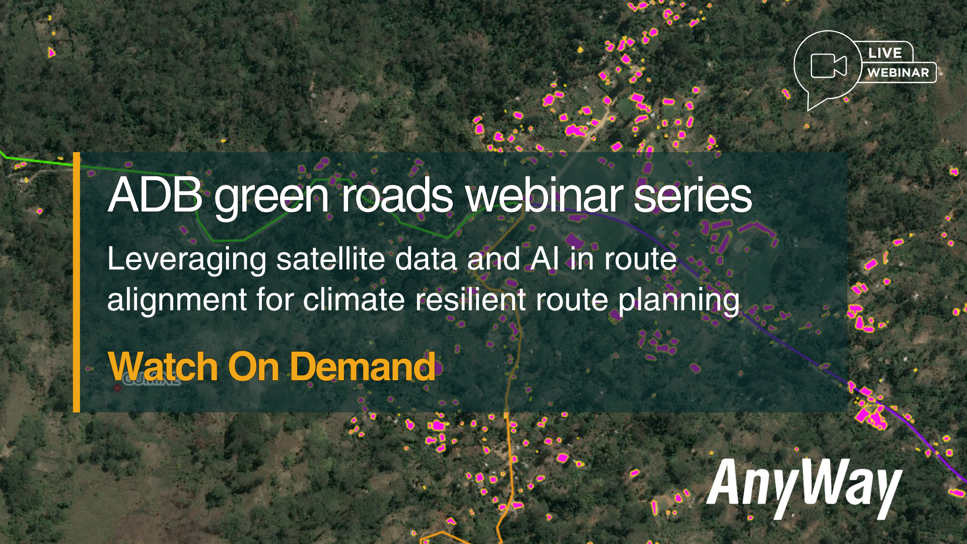
The above conditions called for an approach that would be based on earth observation technologies providing the required data to be able to investigate, identify the route, and provide the preliminary design.   

Our Role

The project involved conducting a route alignment investigation through the utilization of earth observation data collection technologies. Investigations were completed on the topographic and geological weather-related and water-related elements, to inform the basis for a preliminary design for the future road that will traverse through the terrain.  The design had to meet the DOWH’s minimum design standard for rural road Type I. 

AnyWay Solutions was tasked with conducting a remote, satellite-based investigation and preliminary design of the proposed route. The goal was to meet DOWH’s Rural Road Type I design standards and provide the foundation for detailed engineering and construction planning.  

Our work included: 

– Topographical survey 

– Geological Investigations 

– Hydrological Investigations 

– Preliminary Engineering Design  

– Workshops for the DOWH professional staff, and 

– Prepare and compile bid documents for the proposed works including an estimated BOQ. 

The desktop study involved collecting and analyzing existing data on various factors, including national and local population statistics, geology and soil conditions along the project corridor, the region’s seismic history and potential earthquake risks, as well as historical and projected climatic conditions using modeling techniques. 

The Results

A comprehensive report was produced, detailing the conditions relevant to road development along the selected project corridor routes. The report not only reviewed the historical and current geological and climatic conditions but also provided detailed technical information and recommended engineering designed solutions in the following areas:  

  1. Pavement design including design speed, road width, horizontal and vertical alignments.
  2. Slope stabilization including analysis of slopes along the potential routes through the use of machine learning and AI applied to satellite collected data. Based on this analysis, engineering solutions were recommended such as reinforced earth structures combined with vegetation to enhance slope stability.
  3. Topographic survey  using high-resolution satellite data, with a focus on elevation mapping through advanced stereo-mapping techniques. This process utilized triple stereo satellite imagery with forward, nadir, and backward views at a resolution of up to 0.3 meters per pixel. A comprehensive, ultra-high-resolution bare earth Digital Elevation Model (DEM), was created which includes accurate stereo-mapping of a bare earth terrain elevation model, cleared from culture features like trees and buildings. This orthophoto is projected on the DTM, in order to create a realistic 3D terrain model, which allows identifying objects such as trees and houses that exist on each point of the mapped area. 
  4. Analysis of catchment areas and specific water ways within the corridor of the project and design of drainage elements required to enhance the climate resiliency of the project that are based on extreme weather conditions futured and not historical data.
  5. Estimated BOQ for the project based on the suggested designs of the route for each of the routes that were analyzed.   

Climate resilient designs and solutions to transport infrastructure is a future-focused approach that utilizes advanced technologies and techniques to overcome harsh project conditions in Papua New Guinea’s remote areasThe preliminary design of this project allowed the government to select the optimal route for the project, one that will enhance the economic and social aspects of the development of the country, connecting the capital city with the countries main port of entry and many of the rural communities along the selected route.  

AnyWay contributed to the capacity building of the professional staff at the DOWH by sharing information and conducting seminars on the work that was done and the technologies and techniques that were used to create the designs and solutions proposed. This helps equip local professionals with the knowledge to apply similar solutions in future projects.