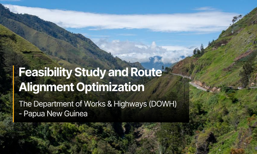
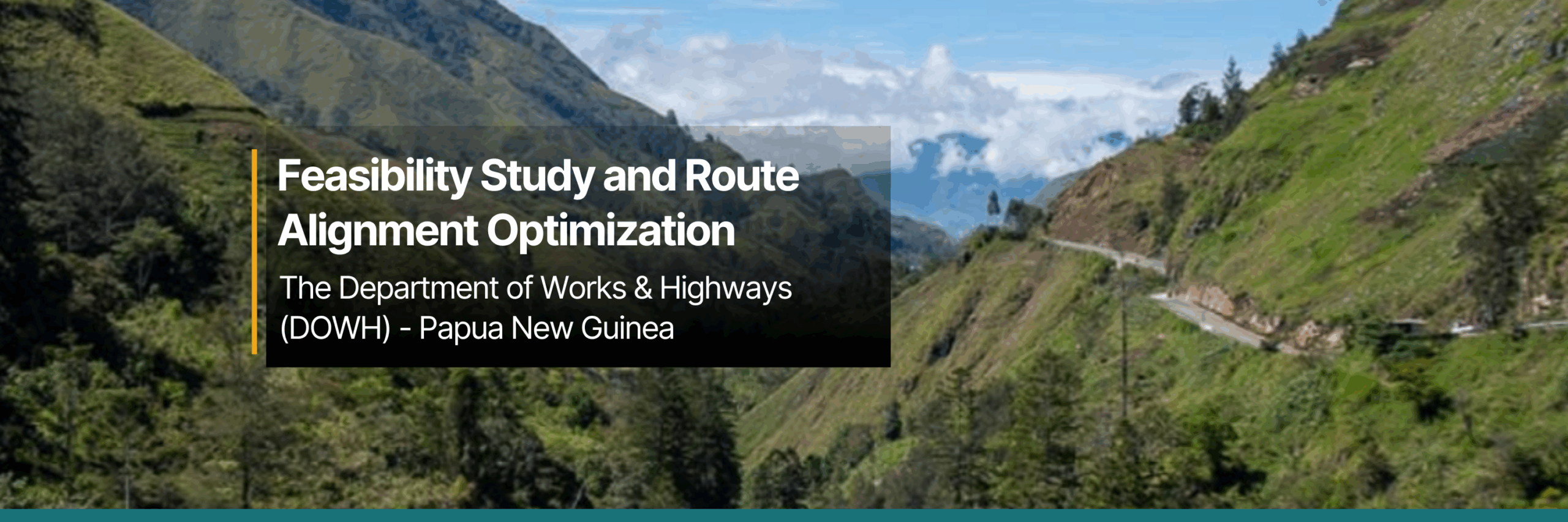
Feasibility Study and Route Alignment Optimization
The Department of Works & Highways (DOWH) - Papua New Guinea
Project Objective:
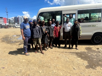
The government of Papua New Guinea initiated a program to support the development of rural agricultural areas by improving their connectivity to major roads and regional towns. A central focus of the program is to identify feasible road routes in remote areas of the country with challenging terrain, analyzing conditions and estimating costs for future developments.
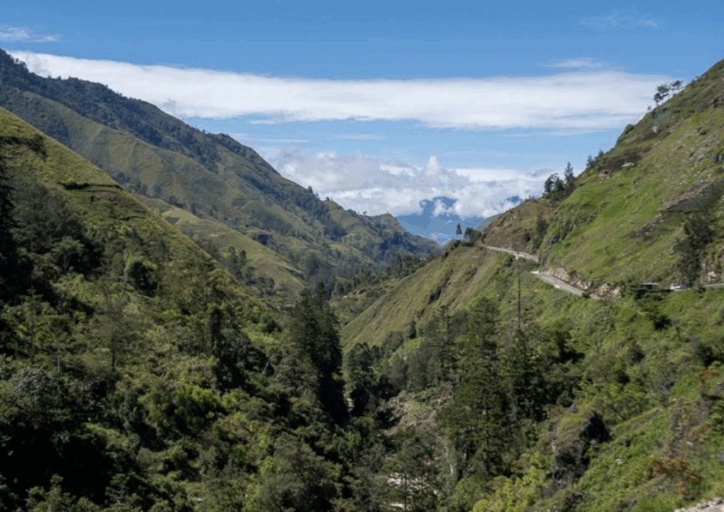
This particular study aimed to determine the most efficient route from Kundiawa, the main town in Jiwaka Province, through Gumine and onward to Karamui. To achieve this, a satellite-based and AI-assisted analysis was conducted to evaluate multiple potential alignments. Each route was assessed based on factors such as cut-and-fill requirements, ease of construction, total length, number of bridges and complex culverts, long-term maintainability, and the population residing along the route.
This data-driven approach enabled a comprehensive comparison of alternatives, guiding the selection of the most viable option for future development.
The Challenge
The complex terrain and limited accessibility of the area project area presented significant obstacles for the Department of Works and Highways (DOWH). The remoteness of the region made it it extremely difficult to conduct a traditional feasibility study, collect actionable data, analyze site conditions, and identify optimal routes for future road connections to the agricultural areas of Karamui.
Given that the program intended to support the development of remote rural areas, timely delivering was critical. However, using conventional, ground-based surveying and data collection methods was not feasible. To move forward, a different approach was required that would help overcome the logistical and environmental challenges that would assist the government in relatively short time frame.
Our Role
A preliminary evaluation of the various routes was required prior to undertaking a more detailed, and costly, pavement design and route alignment optimization study. The feasibility study needed to assess the construction complexity of each route segment to support an informed decision on the most viable option for unlocking the agricultural potential of the region.
To assess the potential routes, a 3 km corridor was created around the existing and proposed route locations. A custom Digital Terrain Model (DTM) was created for all corridors using high-definition satellite imagery, which was utilized to assess existing infrastructure and regional hydrology.
Once the DTM was acquired, specialized civil engineering software integrating AI tools constrained according to the client’s design parameters was utilized. The AI tool uses algorithms to search in real-time for the most cost-effective routes. Once an optimal route was identified, the corridor was defined. Further patented algorithms are then used to determine the most cost-effective profile within the design parameters.
This phase also involved acquiring high-resolution (>1m per pixel) geo-referenced stereo imagery. Images were captured using forward, nadir and backward satellite images of the designated areas ensuring tht each point on the terrain was viewed from multiple perspectives. This stereo acquisition mode enabled the generation of Digital Elevation Models (DEMs) through stereo matching techniques.
Once the DEM was developed, digital drainage channels were mapped across the terrain and overlaid onto the road corridor. where the channels intersected, the catchment area was calculated. The data was then used to estimate peak discharge for a given return period. Although rainfall and stream data in the area are not available or accurate to the current regional climate, the Papua New Guinea Flood Estimation Guidelines from August 2018 provided methodologies and formulas for peak discharge calculations even with limited data.
To ensure that infrastructure investment delivers maximum benefit, it was essential to evaluate the potential socioeconomic impact of each route. Artificial Intelligence algorithms were used to identify structures (eg: rooftops) within each corridor and assess the communities directly within the vicinity of the new routes. The algorithm reports accuracy of up to 90%.
The Results
The most efficient route between Kundiawa to Karamui was optimized with the goal of opening up the region for agricultural development. Multiple route options were analyzed using cut-and-fill analysis, evaluating ease of construction, length, number of bridges and complex culverts, maintainability, and the population along the route. A recommendation was made for a new alignment that uses some of the existing road, but deviates to create shallower slopes and better lines of sight. The recommended alternative routing from Kundiawa to Gumine is 5km shorter and has 36% less horizontal curves within the realigned segment. However, the benefits from the improvements must be weighed against the cost and complexity of establishing a new right of way.
Additionally, it is recommended to expand the area of investigation for the eastern route alignment South and East toward Naiyo and Wario, as this might also significantly reduce the cost of construction if the eastern route. Beyond the design considerations of the two routes, the western route services 226 structures within communities (e.g. houses), while the eastern route services 4827 structures within communities. As such, the eastern route will service a greater population in the region and provide greater support for regional development.
A further recommendation was made to conduct a more detailed design assessment, incorporating factors such as slope stability, materials availability, geological considerations, and refined hydrological factors to ensure that the route is one that provides the level of service that the region requires, and without creating a long-term maintenance and rehabilitation legacy.
Added value from AnyWay Solutions
AnyWay’s use of satellite-based earth observation, combined with AI-driven route analysis, advanced flood modeling, and catchment area assessments, played a key role in evaluating the feasibility and optimizing the alignment of the proposed road.
Through this optimization process, it became clear that a new alignment that partially follows the existing road but deviates to achieve shallower slopes and improved visibility, would offer significant advantages in terms of safety, constructability, and long-term performance.
As a result, we were able to recommend alternative routes that better align with the project’s long-term development goals and improve connectivity of communities in the area.